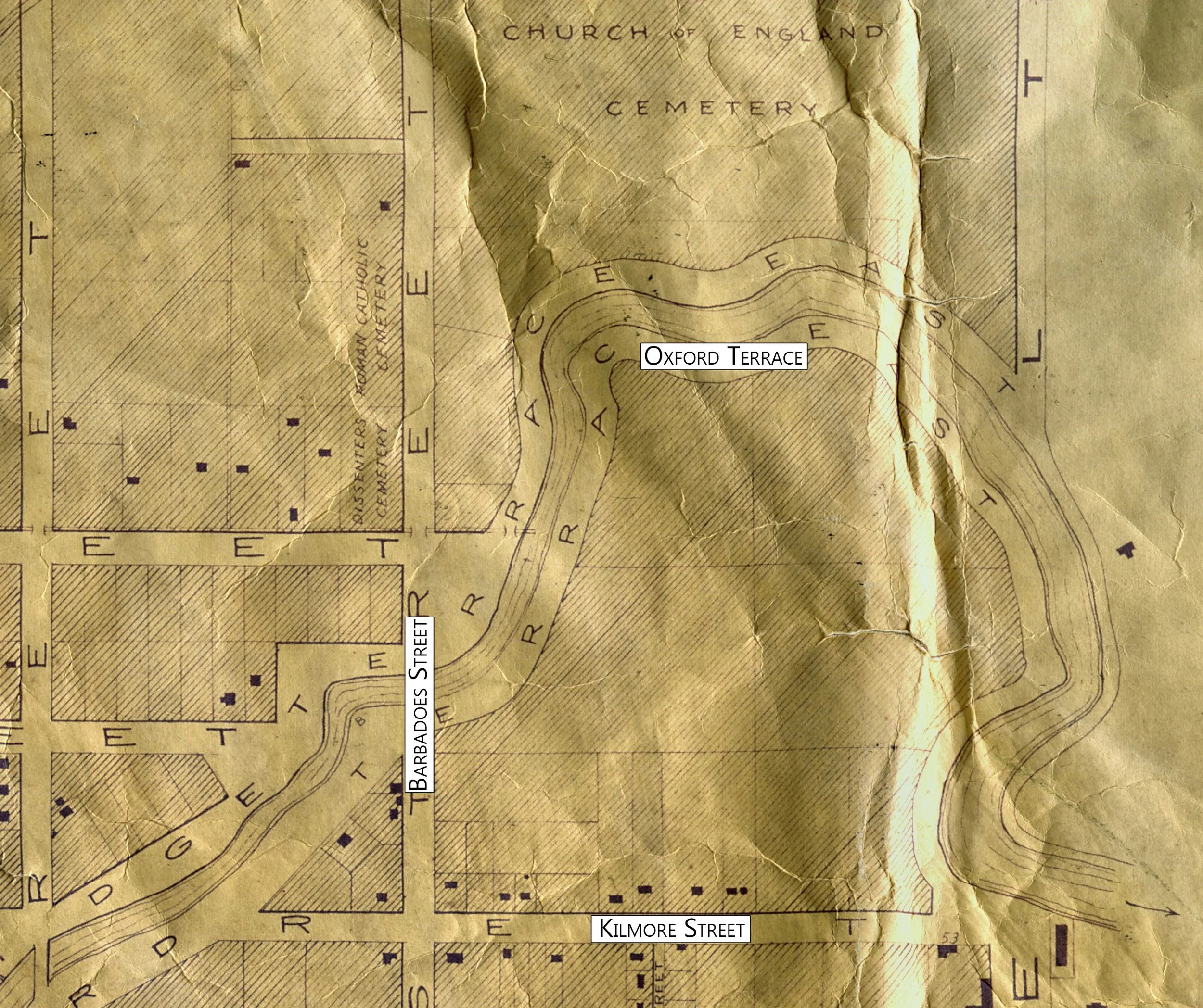
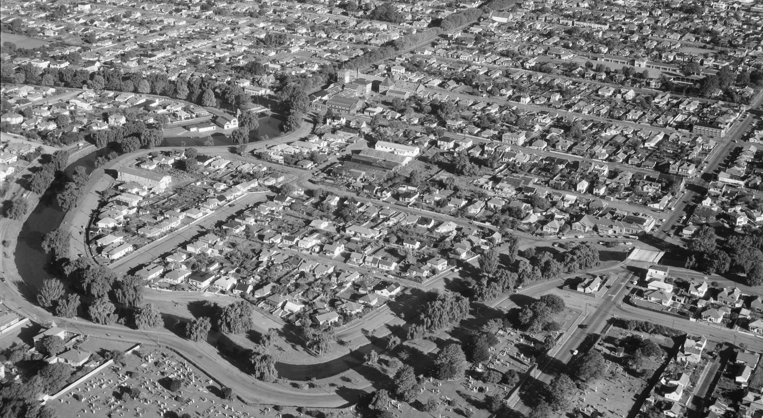
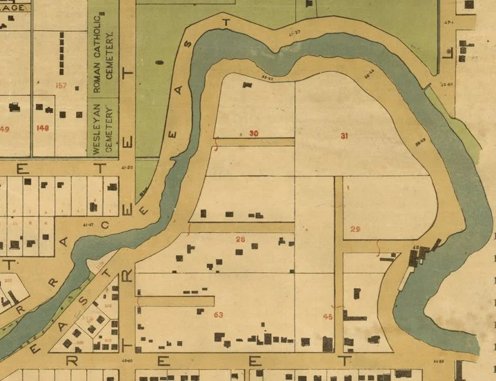
the loop before the loop
When the first colonial settlers arrived, the Avon loop was covered in fern and tutu, as much of the future city of Christchurch was, and flaxes grew along the river.
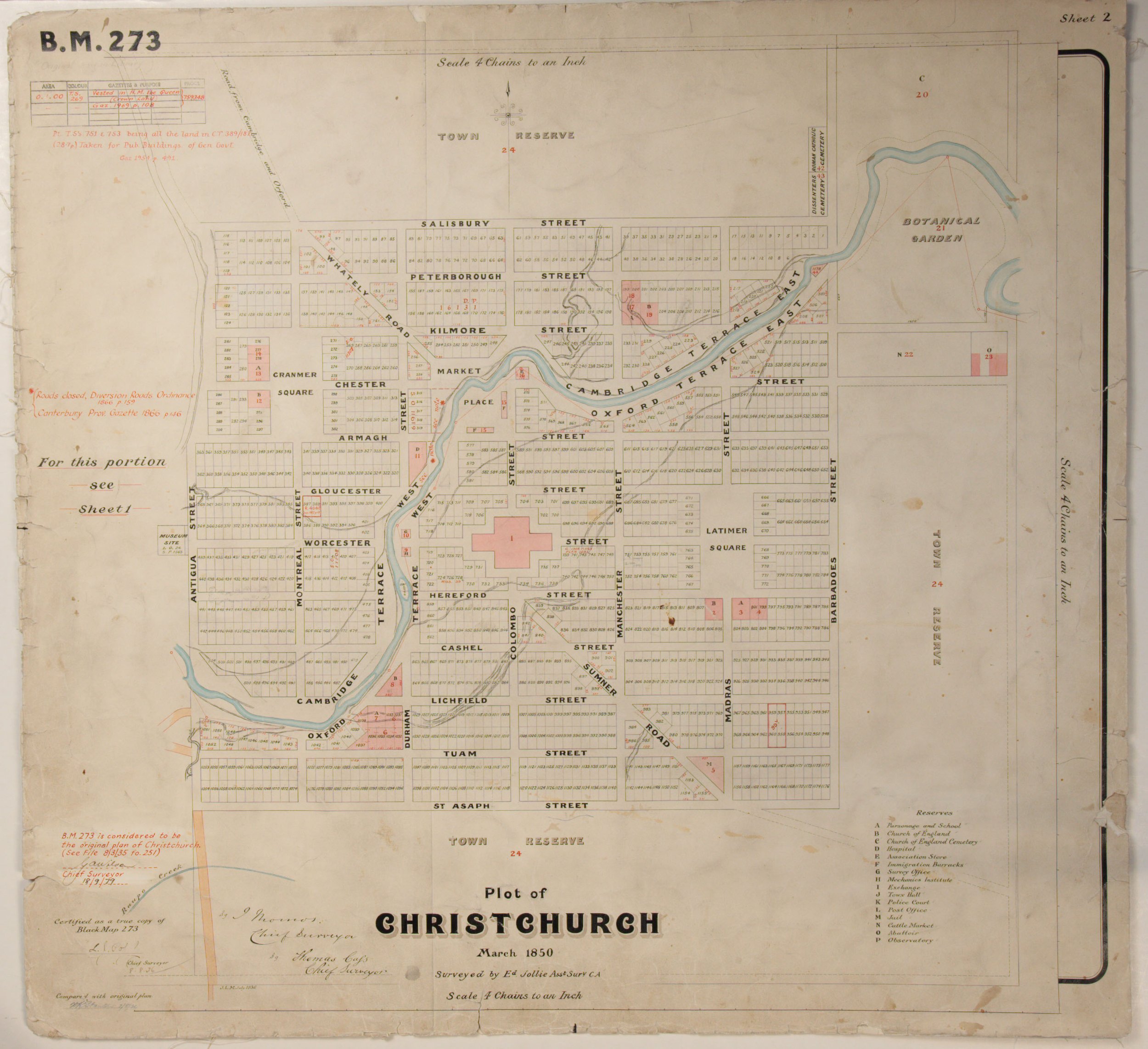
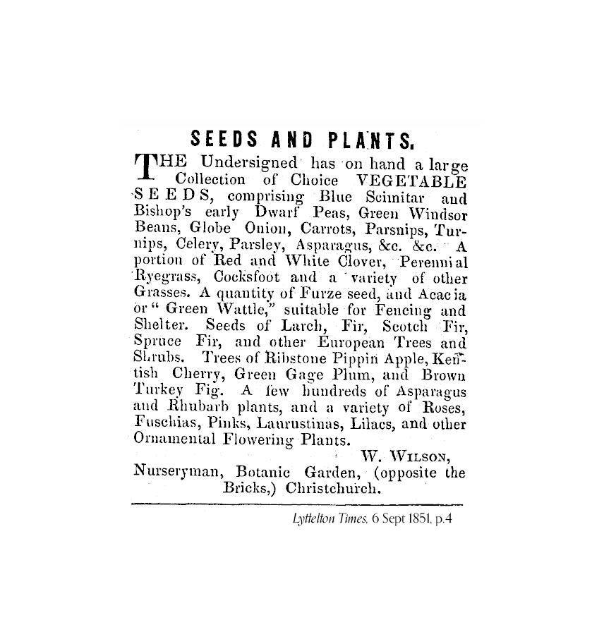
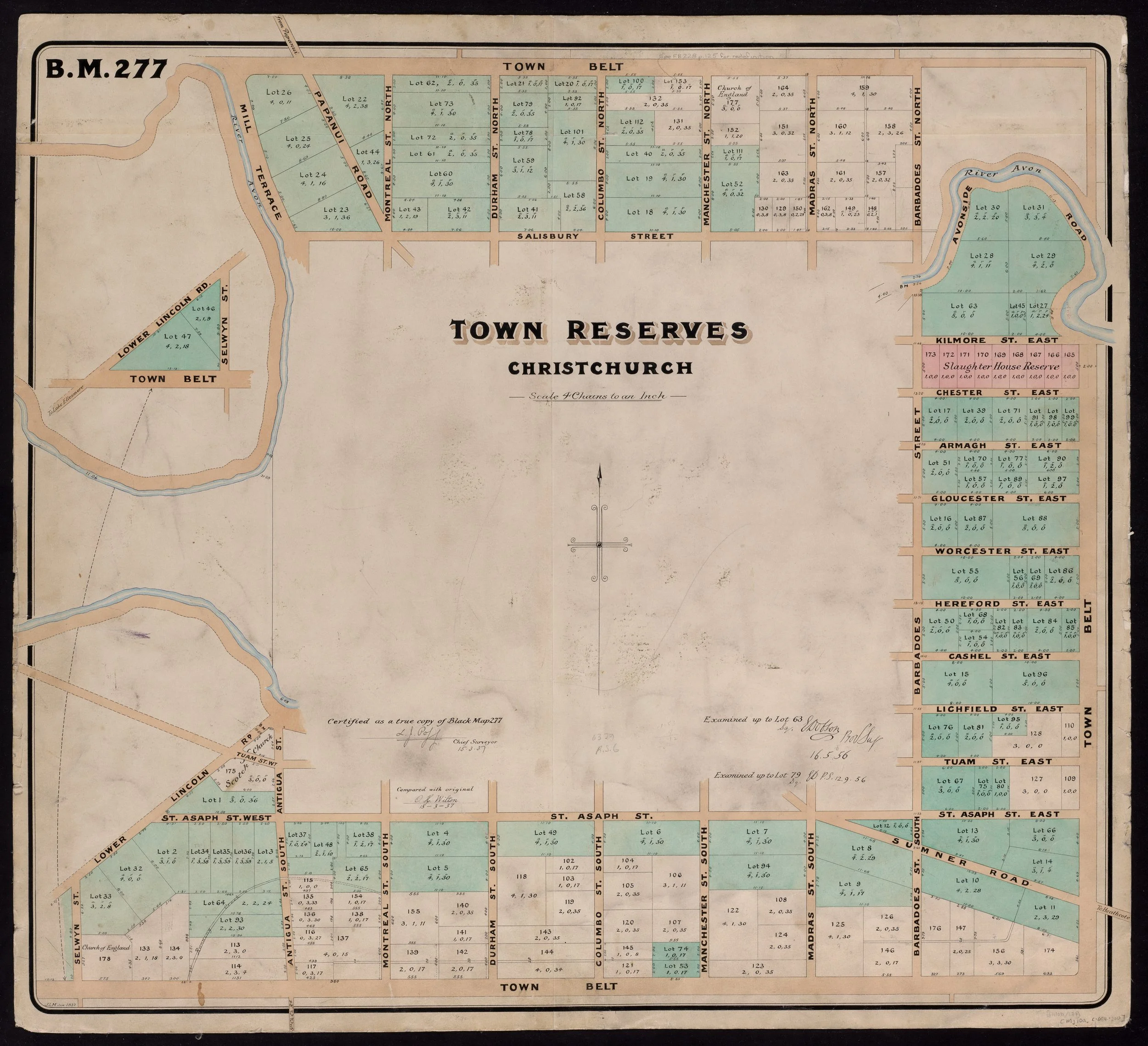
Edward Jollie's 1850 survey divided the new city into neat little quarter-acre rectangles, bounded by Salisbury, Barbadoes and St Asaph streets. Outside this area were the Canterbury Association reserves, intended to contain and corral the city, separating it from the surrounding farmland. The Avon loop lay in this in-between space, designated as Reserve 21, future site of the botanical gardens but instead the site of William 'Cabbage' Wilson's first nursery in the city.
By 1855, the Canterbury Association was in urgent need of funds.
Selling some of its land was the obvious solution to this problem. Thus, the reserves were surveyed into smaller town reserves for sale on the open market. Their size meant they were desirable for property developers, but outside the price range of many others.
The loop became seven town reserves, a total area of roughly 23 acres, with no roads. From the outset, the loop didn't quite fit.
By 1862, there were a handful of houses on the outskirts of the loop, facing Kilmore Street, even though the reserves weren't officially sold until 1863.