defined by the river

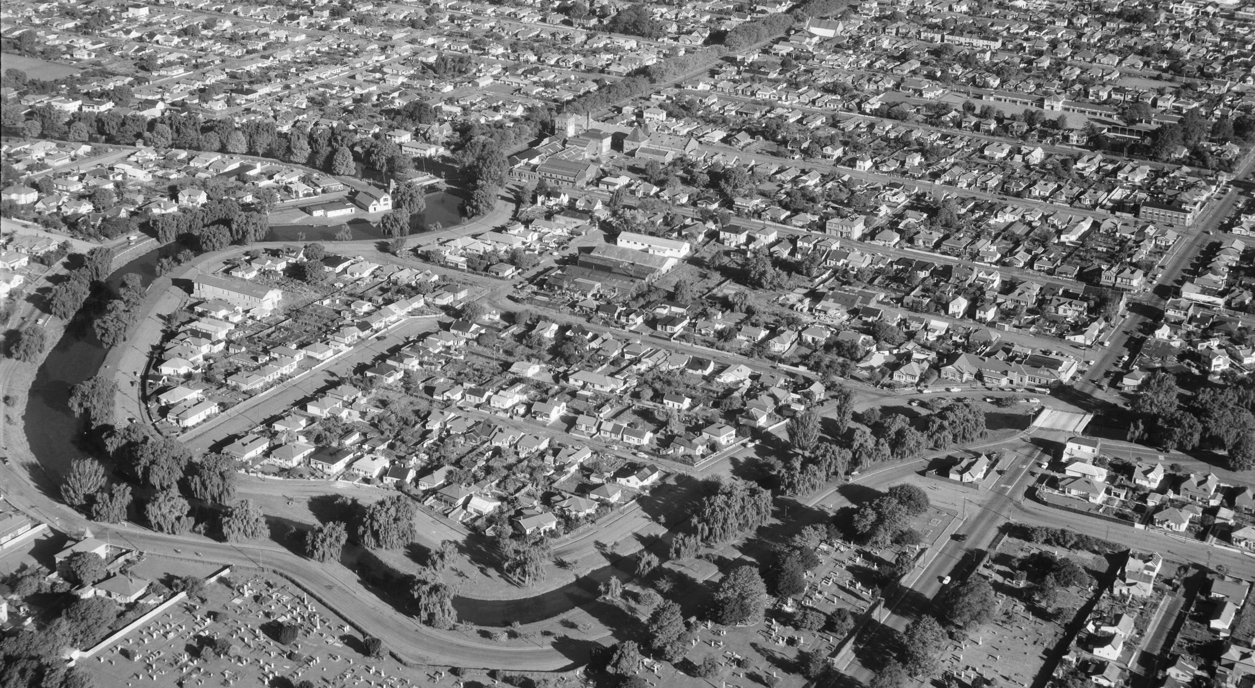
The Avon River runs along the north and east sides of the loop, a natural barrier separating it from the city and giving the area its name. For Waitaha, Ngāti Mamoe and Ngāi Tahu, the Ōtakāro was a travel route and a source of food. Early European colonial settlers used the river for transport too (as far as the Bricks, just west of the loop), but also saw it as a threat to both life and property.
This image from the Christchurch City Libraries’s collection was taken in the Avon loop and shows the Avon River in c.1863, with Wards brewery at left, and the Port Hills in the far distance.
Drownings in the Avon River were numerous in the 19th century.
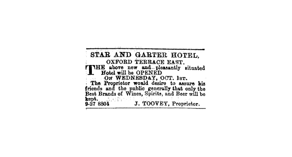
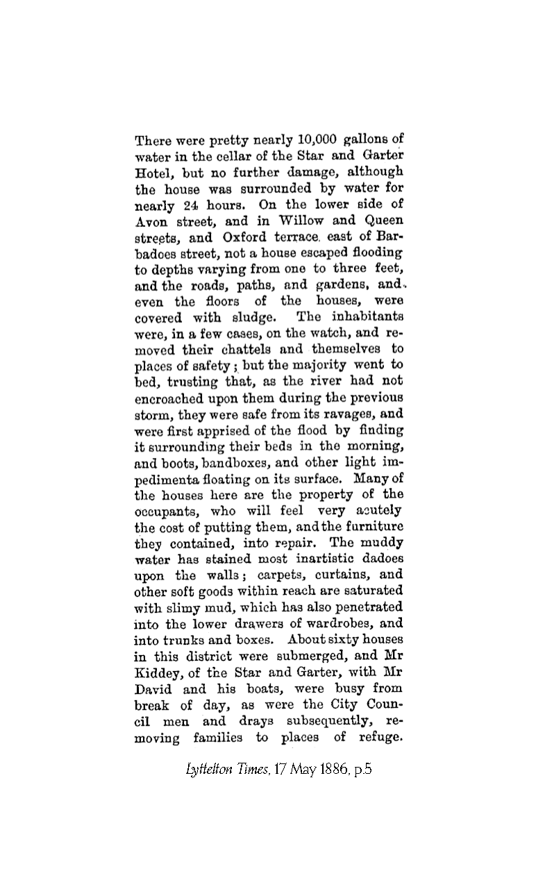
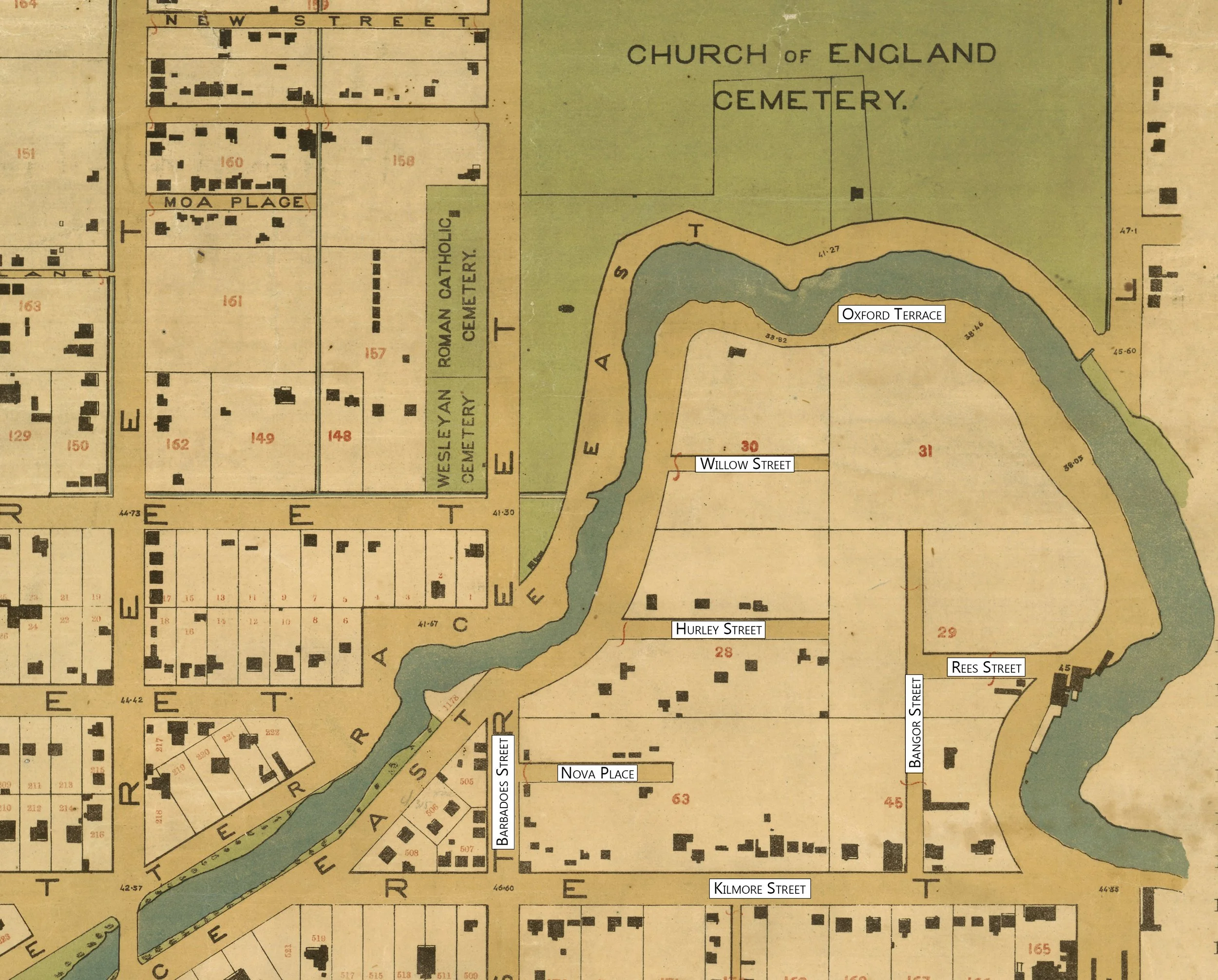
Heavy rain in 1883 that flooded boatsheds near the Star and Garter Hotel was a sign of things to come. In 1886, floods hit much of the city, with the Avon loop being particularly badly affected. Some 60 houses in the loop were inundated, and the Star and Garter's basement filled with water. A series of grumpy ratepayer meetings followed. Residents expressed concern about the river silting up, the increased volume of stormwater flowing into it, the vegetation growing in it and the lack of embankments.
It was these tragic events that finally led to a cart bridge being built over the river at Barbadoes Street in 1879. Residents had been petitioning for one since a footbridge was swept away in floods in the late 1850s. Calls were also made to fence the river here, and to erect street lamps, to prevent further tragedies.
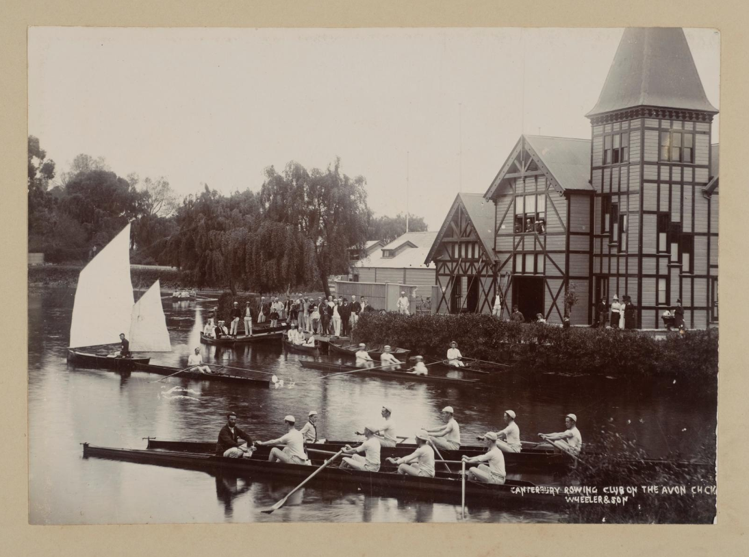
The river was also a place of sport and recreation, with two rowing clubs established around the loop. The first was the Christchurch Boating Club - later the Canterbury Rowing Club - in 1861, followed by the Union Rowing Club in 1864, a famously working class club.